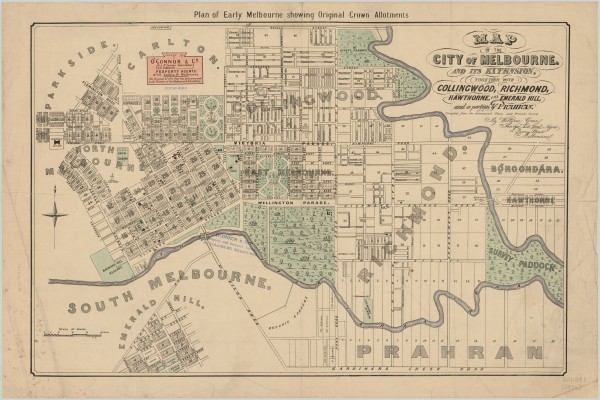
1852 Map of the City of Melbourne and its Extension - William Green
- first
- ‹ previous
- 2135 of 2410
- next ›
- last
Acquisition number:
1648
Catalogue number:
emdf0402
File name:
DF0402
File location:
Digital archive A map issued by O'Connor & Co., Land Agents. It is a copy of the original map drawn by William Green, surveyor, architect and land agent, in 1852 and released in December that year. The map covers the City of Melbourne and inner suburbs. It probably dates from the 1920s as by the 1930s PJ O'Connor had begun practising as an architect.
The map is in the collection of the State Library of Victoria.
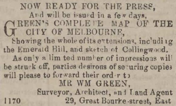
An advertisement in the Argus of 9 December 1852 shows that the original map was available for purchase.
Item type:
Map
External reference:
State Library of Victoria link
Artist-illustrator:
William Green
Publisher:
O'Connor & Co. 

