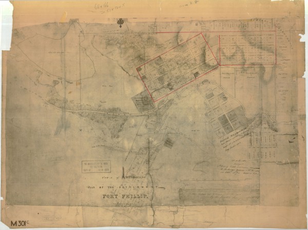
1837 Melbourne Plan - Robert Hoddle
- first
- ‹ previous
- 1298 of 2410
- next ›
- last
Acquisition number:
810
Catalogue number:
eml0003
File name:
EML0003
File location:
East Melbourne Library Town of Melbourne, Plan of the Settlement of Port Phillip
Includes planned allotments.
Covers Melbourne, East Melbourne, South Melbourne, Yarra River and allotments along St Kilda Road.
Item type:
Map
Item size:
100x71 cm
Item condition:
Poor copy Item inscription:
Robert Hoddle
Surveyor
2nd Plan of East Melbourne Transmitted to the Surveyor General with Description and Letter No./14 dated 1st February 1837.
Date of publication or creation:
1837 History of item:
This print is dated 18 June 1963 but it is quite damaged and discoloured.
Date digitised:
2009-11-18 
