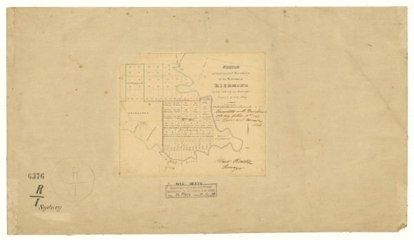
1843 Plan of Richmond by Robert Hoddle
- first
- ‹ previous
- 2050 of 2410
- next ›
- last
Acquisition number:
1563
Catalogue number:
emdf0350
File name:
DF0350
File location:
Digital archive The map shows Collingwood and Richmond subdivided into allotments. The Richmond allotments are inscribed with the names of the original purchasers. To the west of Richmond the part of East Melbourne south of Wellington Parade is shown. It is called Melbourne here as it was land that was reserved for future expansion of the city. His Honor C J LaTrobe's house is shown within the Government Paddock. Further west is the Police Paddock. The road between the two paddocks would eventually be called Jolimont Road.
The original map is in the collection of the Public Records Office of Victoria, in its Historic Plan Collection. Surveyor-general's department: VPRS 8168/P5 Item SYDNEY, record R1
Search term: SYDNEY R1: RICHMOND
Item type:
Map
Artist-illustrator:
Robert Hoddle
Date of publication or creation:
1843
Owner of original:
Public Records Office of Victoria 
