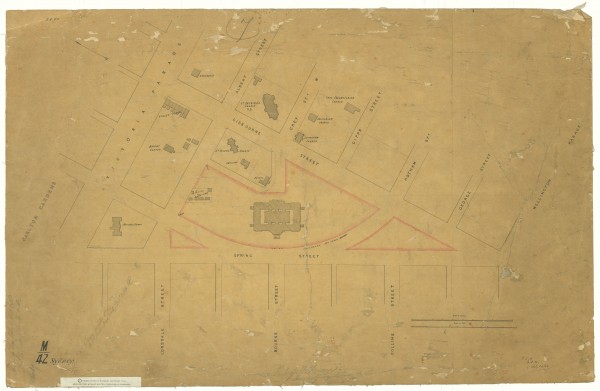
1856 Plan of Eastern Hill
- first
- ‹ previous
- 2048 of 2410
- next ›
- last
Acquisition number:
1561
Catalogue number:
emdf0348
File name:
DF0348
File location:
Digital archive Map shows Eastern Hill marked with churches and public buildings. The map shows some buildings which have been all but forgotten such as the Police Barracks, the Reservoir and Apsley Place.
The original map is in the collection of the Public Record Office of Victoria, in its Historic Plan Collection. Surveyor-General's Department: VPRS 8168/P5 item SYDNEY, record M42
Search term: SYDNEY M42: MELBOURNE
Item type:
Map
Date of publication or creation:
1856
Owner of original:
Public Records Office of Victoria Location map:
Javascript is required to view this map.

