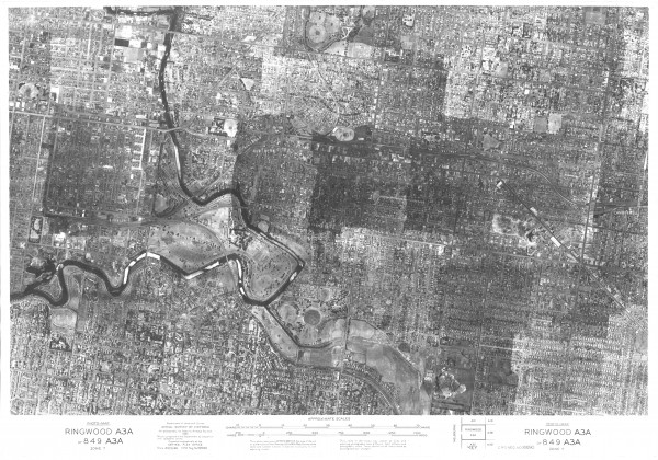
Aerial map of Melbourne East - 1945
- first
- ‹ previous
- 1335 of 2410
- next ›
- last
Acquisition number:
851
Catalogue number:
emdf0043
File name:
DF0043
File location:
Digital file Aerial map of Melbourne inner eastern suburbs created by the Department of Lands and Survey from a mosaic of aerial photos taken in 1945.
Item type:
Aerial view Item inscription:
Ringwood A3A
or 849 A3A
zone 7
Central Plan Office negative number 16690
Department of Lands and Survey
Date 25 Mar 1946
Aerial photos by Adastra Airways Pty Ltd 1945
Mosaic prepared by the Department by comparison with cadastral data
Photo joins in the mosaic may appear as lines and adjoining photographs may have different light effects and photographic tones. These should not be interpreted as physiographical changes.
Date of publication or creation:
1946
Publisher:
Victorian Department of Lands and Survey
Publication place:
Melbourne
Owner of original:
State Library of Victoria
Reproduction rights:
State Library of Victoria 
